Making the Future is a major new cultural heritage project delivered by a consortium of partners, the Nerve Centre, National Museums Northern Ireland, Public Record Office of Northern Ireland and Linen Hall Library.
Shades of Place is a new online programme where you will explore archival maps and stories whilst learning to master the art of hand embroidery and eco-dyeing thread.
Drawing from inspiration from the archives and your local surroundings, you will get the opportunity to use your new creative skills to contribute to a collaborative postcard map of Northern Ireland and border counties to share with future generations.
Session 1 - Maps as storytelling with Garrett Carr
Place
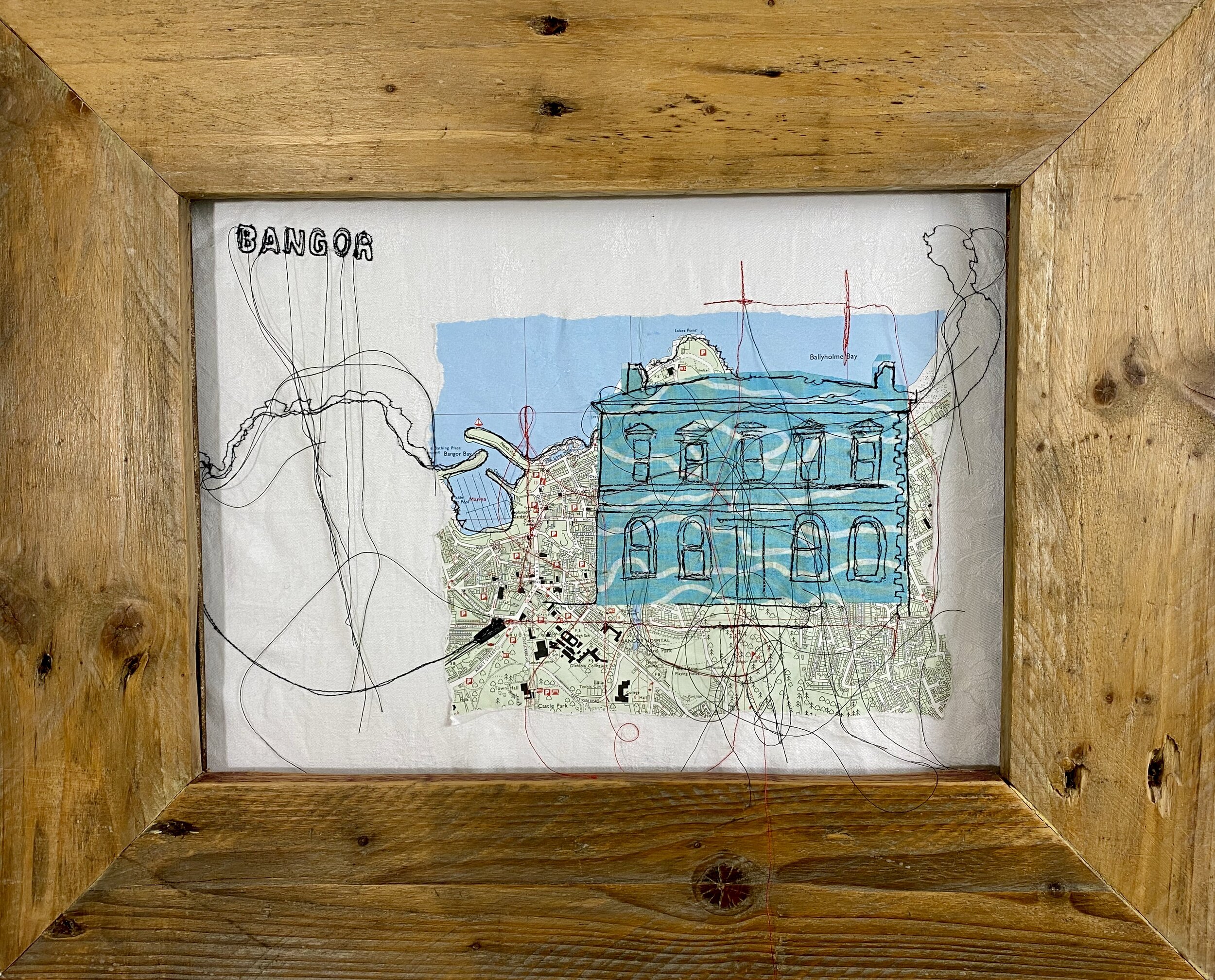
This is my studio wall.. it has been like this for at least 3 years… gathering up phrases, statements and inspiration centred around my place, which is Bangor, Northern Ireland.
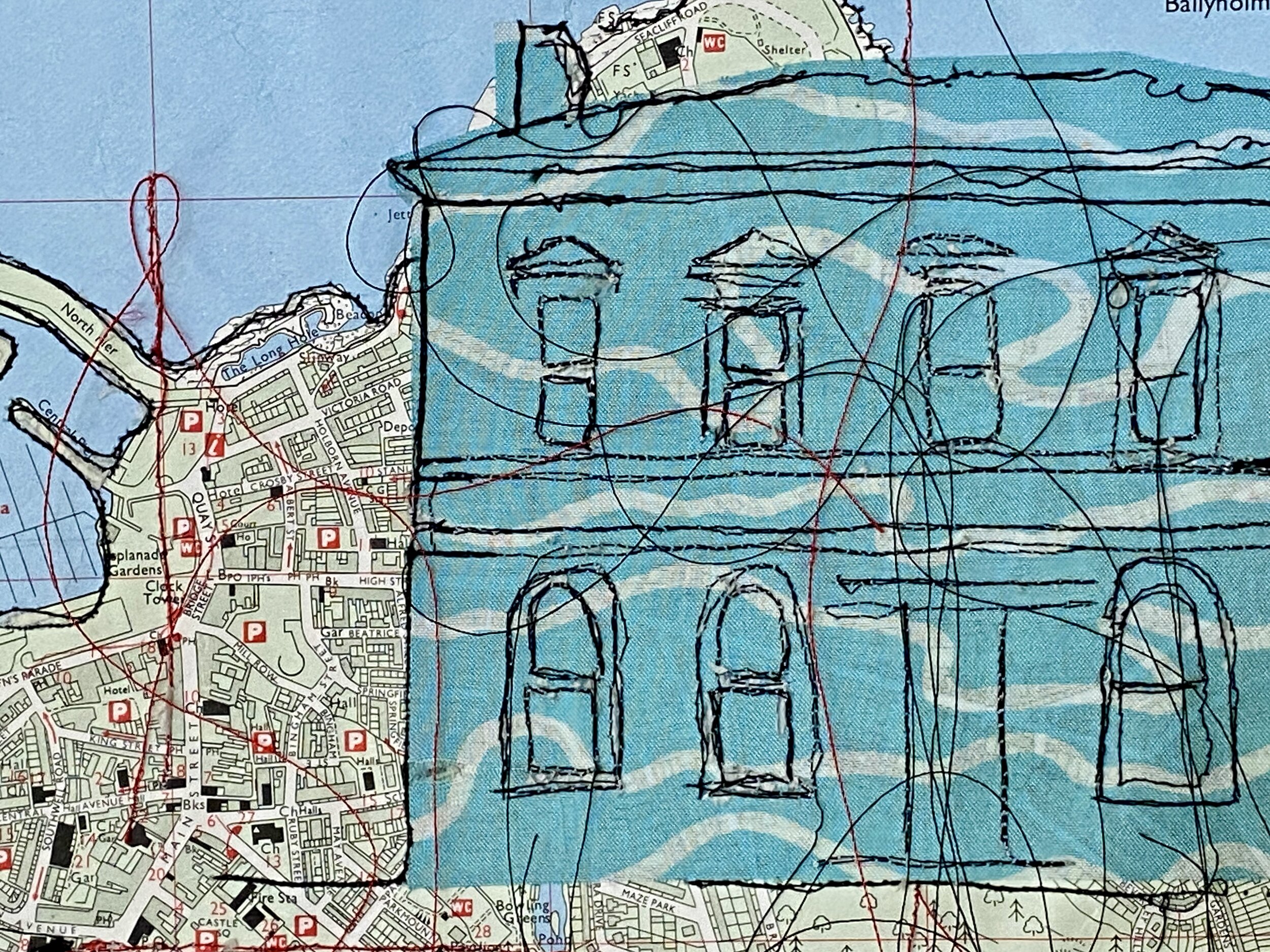
I have used maps in my own art making since I participated in a 2 day workshop with textile artists Rosie James… using maps, tearing them up and stitching into them felt… destructive.. these documents are official, they tell us where to go & what our journey looks like, we follow them without question.
Using the lines from maps make it instantly recognisable as of a place…
Postcards
I’ve been making postcard sized art recently. It is accessible…
The postcards I created with Rosie, where inspired by. and reflected on Brighton, a place referenced many times in Bangor’s new/future identity.. “The Brighton of Northern Ireland”
Maps
In his first lecture Garrat ask “what will you map”.. my instant response was where do people connect with the sea, where do they get there feet wet and how do they do that.
Imagined Maps
These 3 pieces are created out of the process of experimenting. Using inks and water to make initial marks… and let it flow where is wants. The inks creates tidal marks that I have interpreted into maps.
Experimenting with the stitches to represent icons… greenery, trees, rocks, landscape height, boats, swimmers, borders and edges.
Imagined Maps - Black. Inks on found cotton/linen
Green Imagined Map . Ink on Silk
Imagined Maps - Blue on Found Cotton Hand Towel
Natural Dying
Natural dying results and stitching ideas.


